Mapping and Assessment
Mapping
An important part of habitat conservation is knowing what to do where. MHC staff and its conservation partners use high-tech software to create, combine and analyze maps of Manitoba. This work allows MHC to deliver its habitat conservation, restoration and enhancement programs in areas that will have the biggest benefit to wildlife.
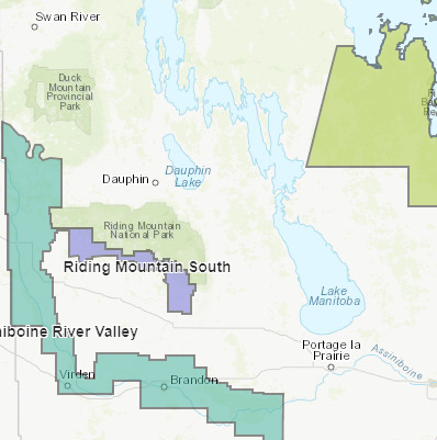
In partnership with Manitoba Sustainable Development, Manitoba Agriculture, and Ducks Unlimited Canada, MHC is currently mapping the wetlands of southern Manitoba. This data is shared freely with outside organizations and individual landowners.
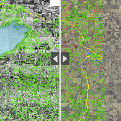
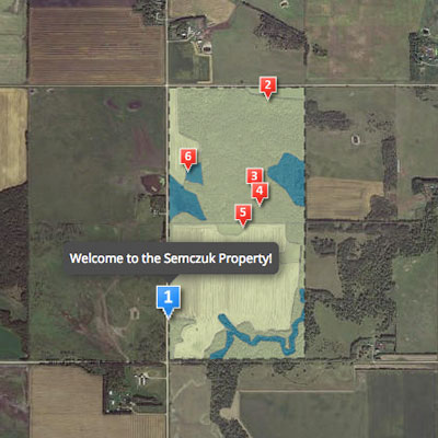
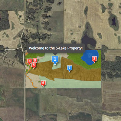
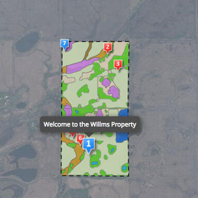
MHC Land Maps
Manitoba Wetland Assessment Method
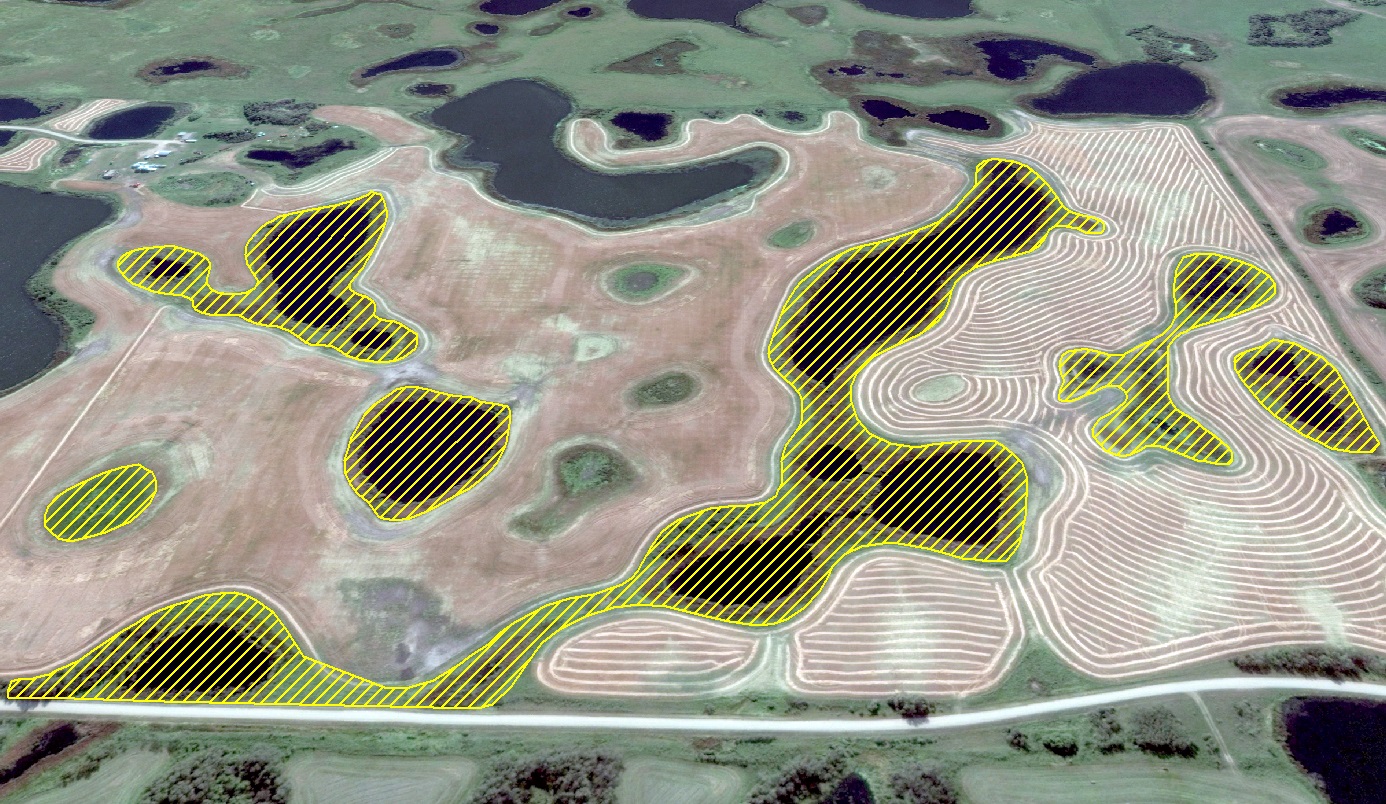
Knowing where all the wetlands of Manitoba are located is just one part of the land management puzzle. MHC, in partnership with Manitoba Sustainable Development, has developed the Manitoba Wetland Assessment Method. This tool allows wetland professionals to rate the health of individual wetlands and results of in a wetland health score.
This health score is based on 12 functions that wetlands provide, like water storage and habitat for ducks. If a wetland is able to deliver all 12 functions really well, or if it is a very special wetland, then its health is rated as Exceptional. All other wetlands are scored as High, Moderate or Low. Based on these health ratings, well informed land management decisions can be made consistently across Manitoba.
Did you know
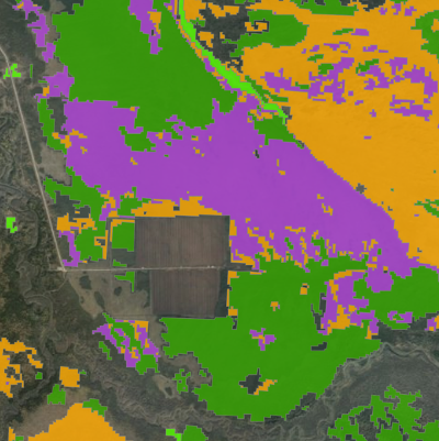
Using what is now known as Geographic Information Systems (GIS), you can compare and combine a wide-range of information from different maps or spatial data, like where the highest crop yields are within a field or where the best duck breeding areas are. This information helps users make more informed land use decisions.
MHC uses GIS to map the spatial data used in its daily operations such as, the location of MHC owned and managed lands, Species at Risk “hot spots” or clusters, and land-use or land-cover data.