The Manitoba Habitat Heritage Corporation (MHHC) is pleased to announce that it has publicly released the first of four high-resolution wetland datasets covering the Assiniboine River Valley and surrounding region, extending from the Manitoba-Saskatchewan border to the City of Brandon. MHHC has been participating in a Province-wide wetland inventory project, part of a larger national Canadian Wetland Inventory mapping initiative.
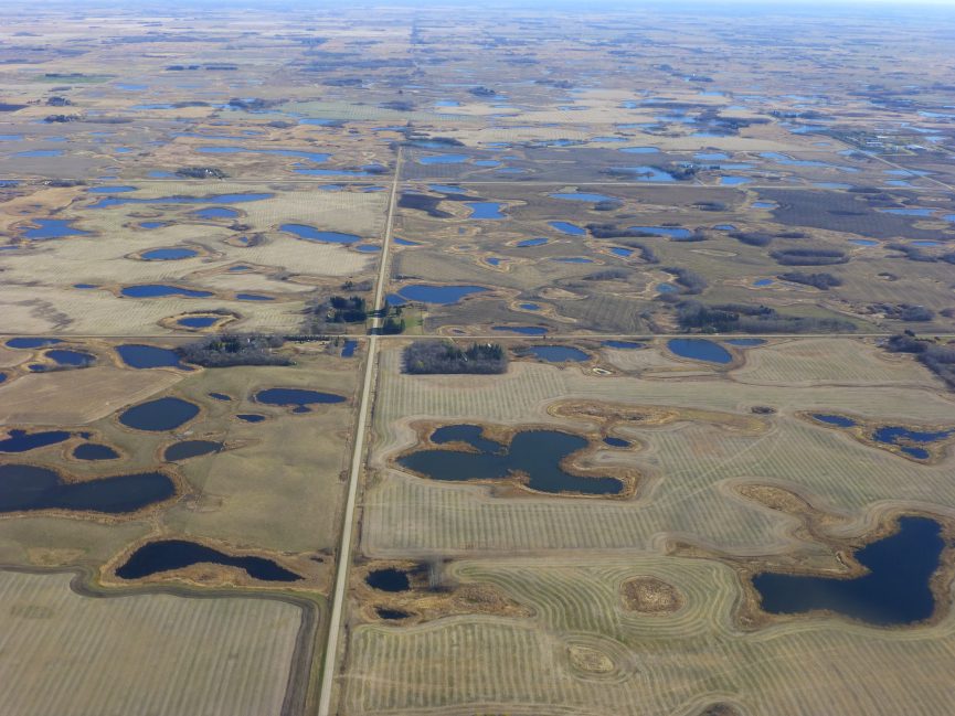
Wetlands are a critically important part of the landscape that contribute essential ecological functions, including: surface water retention, which prevents flooding; filtering pollutants and excess nutrients out of surface water; carbon sequestration, which reduces greenhouse gas emissions; and providing habitat for threatened wildlife and plants. The data produced by the wetland inventory project will serve as a baseline of the state of wetlands in Agro-Manitoba, and will inform the development of surface water management policy.
The data are available as an online map from MHHC’s website:
https://mbhabitat.ca/our-programs/mapping-and-assessment/
The Assiniboine River Valley Stage 1 dataset covers 2,025 km2 in the Roblin area. It was digitized from 50 cm Manitoba Ortho Refresh imagery captured in 2007 and 2008. A total of 32,677 hectares of wetlands were mapped in Stage 1, including 66,012 wetland basins, comprising 16% of the area’s land cover.
Funding for Stage 1 of the Assiniboine River Valley wetland inventory was provided by Manitoba Sustainable Development, Manitoba Agriculture, and the National Wetland Conservation Fund.